Images
Photographed on July 2, 2005 by Brad CoboSelect image to view a larger version


Information courtesy of Brad Cobo
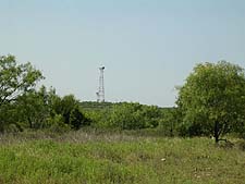
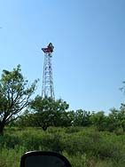
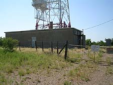
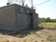
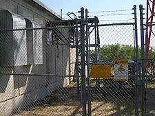
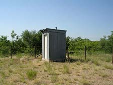
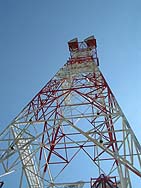
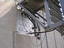
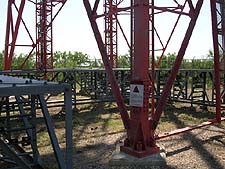
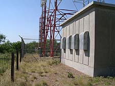
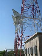
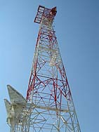
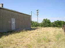
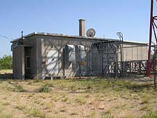
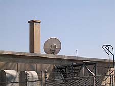
Albany's facilities consist of a 1,270 square foot reinforced concrete building and a 200 foot steel-lattice tower. The building has a 3-foot transmit-receive satellite dish on the roof.
A 1979 AT&T route map shows Albany as a repeater (auxilairy) station linking Woodson to the northeast and Stamford to the west.
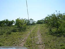
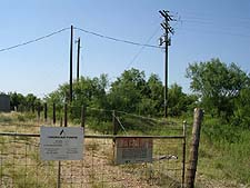
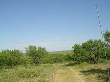
The station is located atop a small hill on a very secluded, one-acre plot of leased land surrounded by many mesquite trees. The site is in Shackelford County, 12.5 miles northwest of Albany, on Highway 1084 (zip code 76430). Stay to the right when you come to the big fork in the gravel road.
Albany's coordinates are 32-52-12.2N (32.87006N), 99-26-1.56W (-99.43376W).
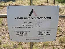
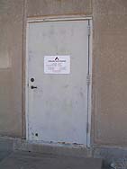
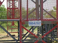
AT&T identified the facility as "STATION NO. 17". It is currently owned by American Tower Corporation, which leases space to its customers and identifies the site as number 89110. Albany's FAA registration is 2004-ASW-4513-OE, and its FCC tower registration is 1054767.
|
|
|
|
|
|
|
|
|
|
|
|
|
|
|
|
|
|
|
|
|
|
|
|
|
|
|
Created on May 7, 2008 at 19:48 by Albert LaFrance